
Walk a Utica Street Directory Trail
Start with the exact address, not a person’s name. City tax records can tie that address to an assessed parcel and show an owner or mailing field. The County map then helps confirm the parcel’s location and shape. A recorded deed may explain a transfer, but a party to a deed is not automatically a current occupant. The New York Voter Lookup is even narrower: it confirms a registered voter through the individual form, rather than providing a street roster. This street directory approach keeps the records distinct while making a repeatable address trail.
- Enter the house number and street name in Utica tax self-service, then save the parcel ID and the tax year used.
- Open the same location in the Oneida County tax-parcel viewer to check parcel geography, address, and mapped context.
- Use the parcel or known party information to follow a deed through the County Clerk’s documented route, keeping the document date and parties exactly as printed.
- When a person needs to confirm their own registration details, use New York Voter Lookup with its required county, name, date of birth, and ZIP Code fields. It does not search a street by address.
- For an older address, compare a dated library directory entry and map with the parcel and deed trail. Record uncertainty instead of forcing an old number into a modern address.
Note: A mailing address, a property location, and a printed directory residence are separate source fields that should never be silently merged.
Utica Tax Fields for Street Searches
The City’s tax self-service form is the most direct street-keyed starting point in the Utica street directory. Choose one route for each query. For an address search, the City instructs users to leave off suffixes such as ST, AVE, and LN, so a search should use the core street name rather than a full postal-style label. Tax history begins with fiscal year 2011/12. That history is useful for a parcel timeline, but it does not establish who was living at the property.
| City tax search field | How to use it |
|---|---|
| House number | Use with the separate Street name field for an address route. |
| Street name | Enter the name without a suffix such as ST, AVE, or LN. |
| Parcel ID | Use the local parcel identifier when it is already known. |
| Bill number | Use the bill route when that number is available. |
| Tax history | The City states that history is available from fiscal year 2011/12. |
See the City tax self-service screen before entering a query. Its separate address, parcel, and bill routes are shown here.

The screen supports a disciplined first step: identify the assessment record first, then verify any later inference with the record that actually carries it.
Utica Parcels Along the Street
The County’s official parcel viewer adds the spatial part of a by-address search. County documentation describes parcel owner, address, assessed value, acreage, imagery, and layers for floodplains, wetlands, contours, school districts, sewers, and soils. Use those layers to understand which parcel the address names, whether a lot is irregular, or whether a boundary affects the record trail. They are not a list of people connected to nearby parcels.
- Parcel
- A local assessment unit for land or a building site. It helps connect the City roll, map, and recorded-document work.
- Situs address
- The property location carried in an assessment record. It can differ from the owner’s mailing address.
- Plat
- A recorded map or plan that depicts lots or subdivisions. It is a land-record reference, not a current occupancy record.
- Criss-cross directory
- A historical directory arranged by address, often used to locate a dated listing before checking the alphabetical edition.
This comparison matters in Utica: the 2024 final assessment roll visibly separates owner name and mailing address from property location. A result at a situs address describes the assessed property, not a conclusion about a person’s current residence.
Note: County GIS is strongest for parcel context and mapped features, while City tax records are stronger for the bill and assessment trail.
Utica Street Directory Field Comparisons
A useful street record separates its labels. The City’s final assessment roll can include a tax-map parcel number, owner name, mailing address, property location, class, exemptions, taxable values, account number, parcel notes, market value, and deed book or page. These fields do not all describe the same person or event. The owner field points to an assessment relationship. The mailing field supports tax correspondence. The property location identifies the assessed site. A deed reference is a lead to the recorded instrument.
This local comparison prevents a common address-search error. A result can place an owner’s correspondence elsewhere while accurately identifying a Utica parcel. Read each field at the date the roll or bill was issued, then use the County Clerk document route or a historical directory only for the separate question it can answer.
Utica Street Directory Record Coverage
Several Utica offices hold address-related records, yet none is a complete street-wide household index. Match the question to the keeper. The City supplies tax and assessment paths, the County maps parcels and records instruments, the Codes Department routes municipal files, and the Library preserves dated directory evidence. The voter form is a confirmation tool for a registered voter using required personal fields, not a browseable by-street record.
| Address record set | Utica or County keeper | Street-level value | Access route |
|---|---|---|---|
| Tax and assessment record | City Assessor and tax self-service | Parcel, property location, assessment, owner or mailing fields | Online tax screen and Assessor |
| Parcel map | Oneida County Planning | Parcel geography, mapped address, imagery, and County layers | Official GIS viewer |
| Recorded deed | Oneida County Clerk | Parties, recording date, document reference, and transfer trail | SearchIQS, terminal, archival books, or request |
| Permit or code file | Utica Codes Department | Defined project, work, inspection, or enforcement records where releasable | Department route or focused FOIL request |
| Historic directory or map | Utica Public Library and archival repositories | Dated printed address, work, or residence notation | Digital scans, staffed room, microform, or archives |
| Registration confirmation | New York and Oneida elections offices | An individual voter’s election information when required fields are supplied | Voter Lookup or Board of Elections procedure |
The parcel identifier can join the City tax record to map work. A known party name can then support the Clerk’s deed path. The street name remains a locator, not a substitute for the different fields each custodian requires.
Utica Deeds Behind a Street Address
The Oneida County Clerk records deeds, mortgages, maps, judgments, and related instruments. County instructions document a guest route in SearchIQS: enter Party 1 as last name first, select DEED as the document description, choose a result by name, date, and town, then use View and Print/Download. The published guide does not establish an address-to-deed field, so an address alone may call for the public terminal, a Clerk question, or a directed request.
Most land records and judgments from the early 1990s are available online, according to the County. That is broad access information, not a promise that every record is digitized or indexed under every name variant. Earlier or missing material may require the Clerk’s free public computers, paper archival books, or the Records Search Request Form. The posted directed-search fee is $5 for each named person, each two-year period, and each selected category.
Open the County’s deed-copy instructions to see its documented guest-search sequence.
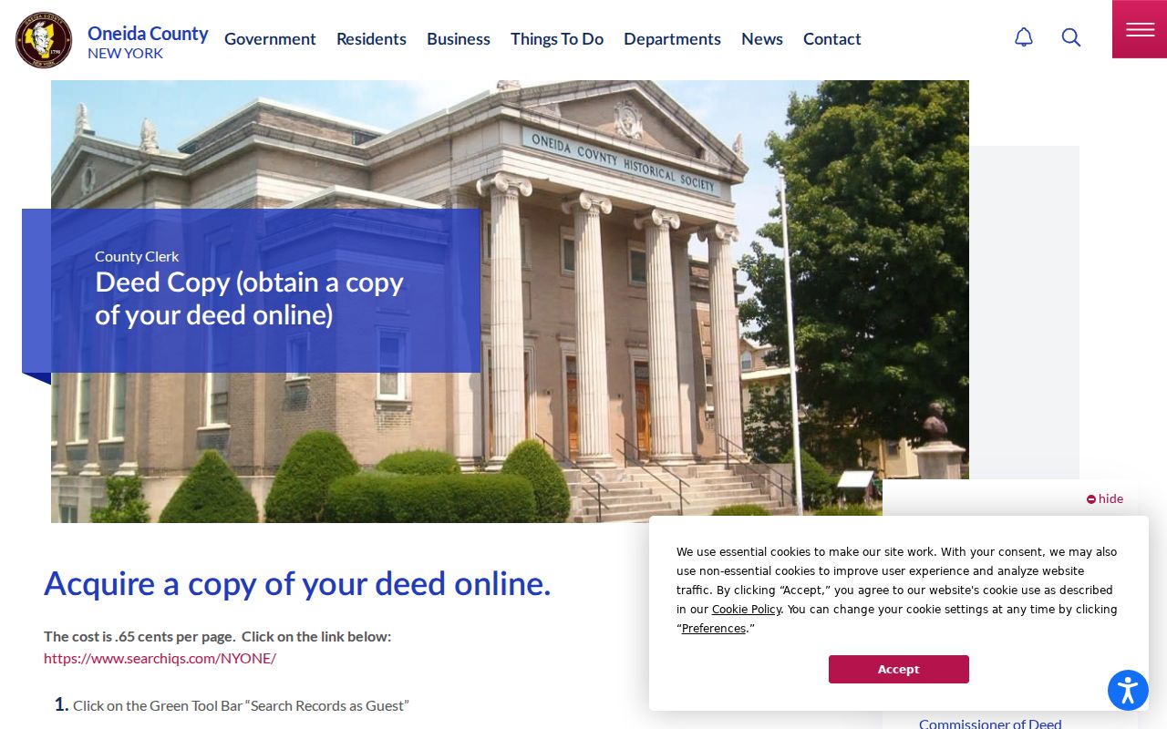
A deed can document a recorded transfer. It should be read alongside the date, party names, and parcel or legal reference instead of being treated as a present-day household list.
Utica E911 Numbers Carry Local Rules
Oneida County Planning is the addressing authority for County municipalities. Its E911 guidance describes an address as a number plus a street name. As a local addressing quirk, odd numbers generally fall on north and west sides, while even numbers generally fall on south and east sides. New numbers generally use 40-foot increments from a road’s beginning, subject to existing conditions. Address changes may be considered for issues such as wrong-side parity, duplication, changed access, or insufficient number space.
These current rules explain why an address has its own administrative history. They do not translate an old directory number into a modern number. For a historic Utica street directory search, compare cross streets, a time-appropriate map, and supporting City or County evidence. When those sources do not make a conversion clear, retain it as unresolved.
The Oneida County E911 page describes the address-assignment process used for this local context.
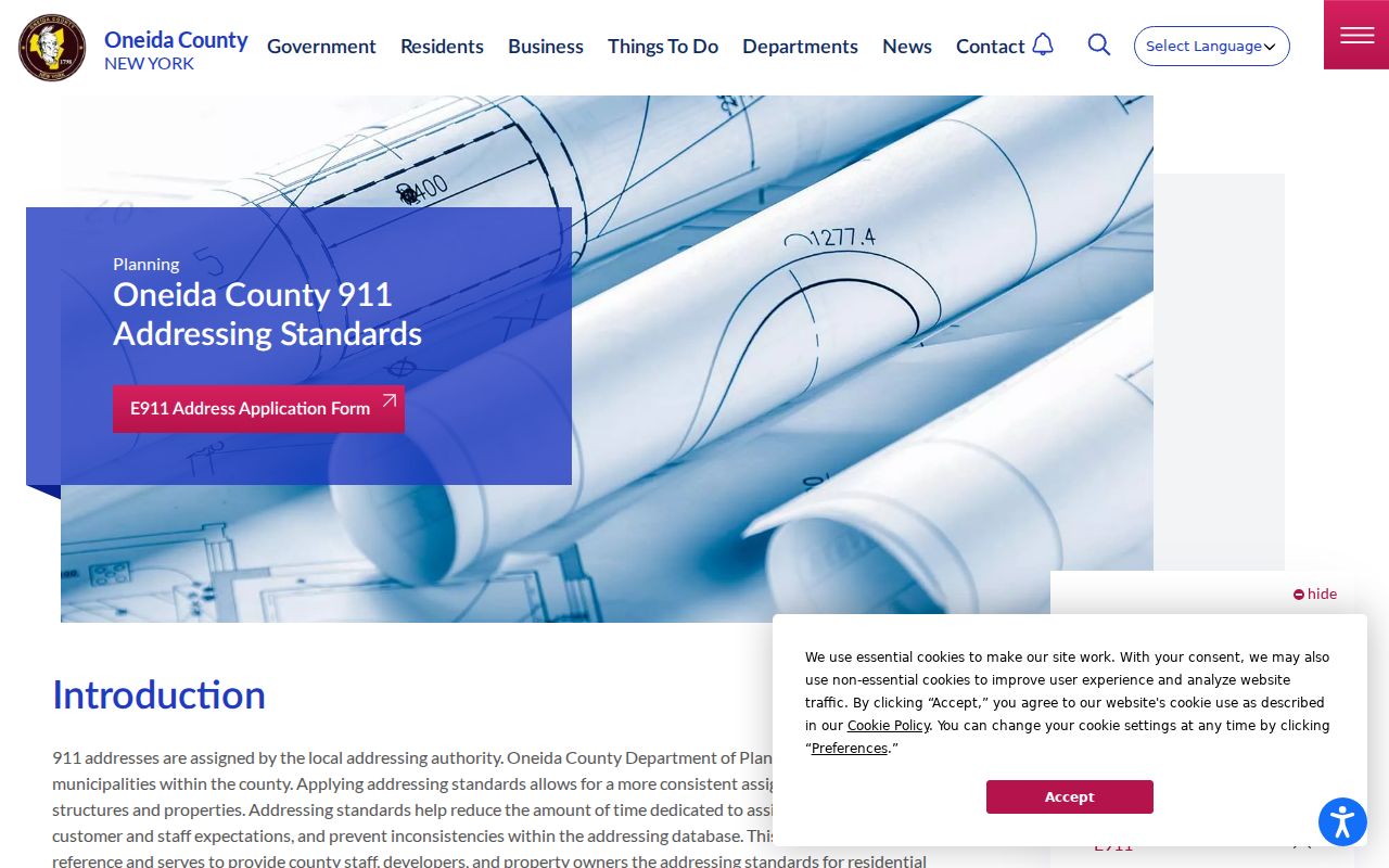
Use the County guidance to check present address structure, then rely on dated sources for any historical conclusion.
Note: No authoritative Utica-wide historic street-renumbering table was located in the reviewed sources.
Utica Codes Files by Street Address
Building and code files add a municipal layer to a street directory search. The City’s building-permit route says a permit is required for construction costing $1,000 or more, and for new construction or renovation in the Scenic and Historic Preservation District. The application identifies a property address, property description, use, floors or residential-unit count, and owner or contact fields. That makes it useful for locating a defined project record, not for making a claim about everyone connected with an address.
Begin with Utica’s building-permit information when a permit number or project period is known.
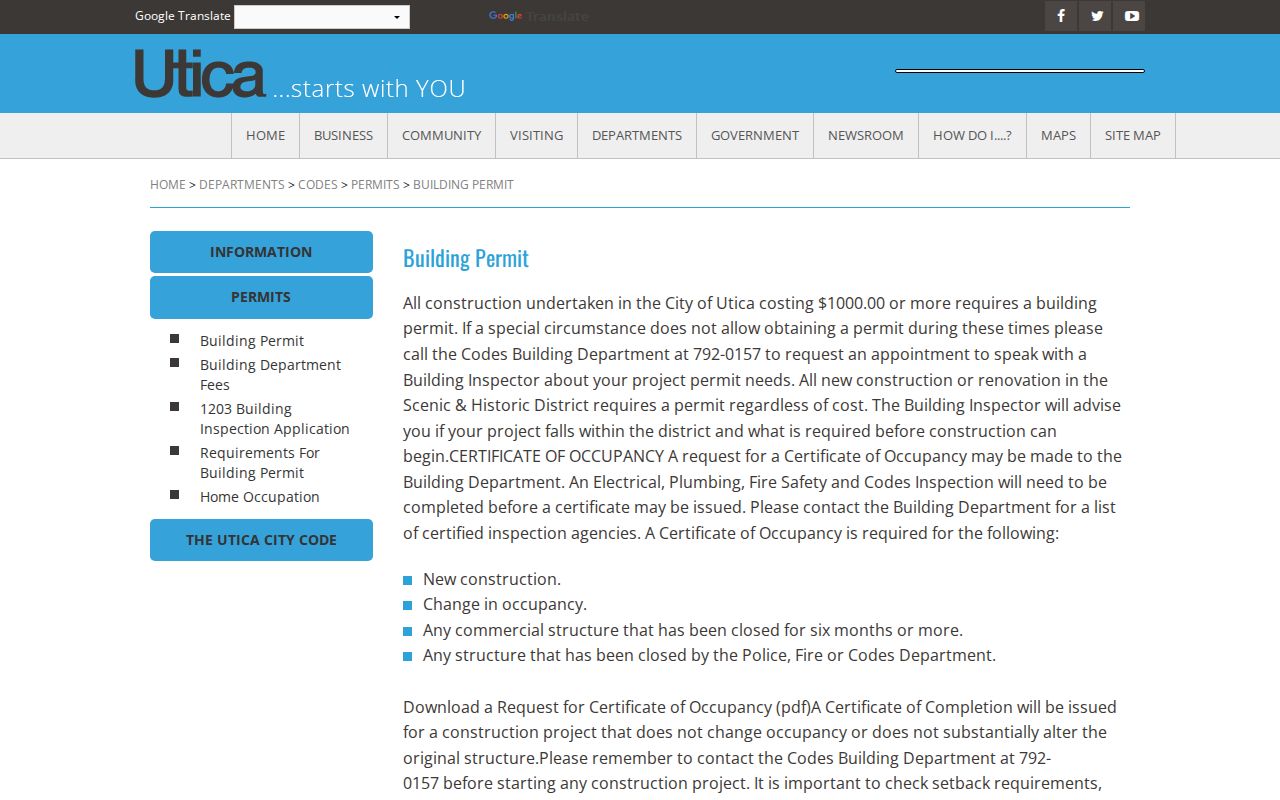
The permit path gives the request language a better starting point: address, document type, date range, and known permit number.
For records that are not posted, the City Clerk is the Records Access Officer and the City’s FOIL form allows a requester to specify physical or electronic delivery and a detailed record description. Narrowing by address, document class, and time period is more useful than asking for every record tied to a person.
The Utica Codes Department is the appropriate department route before making a focused request.
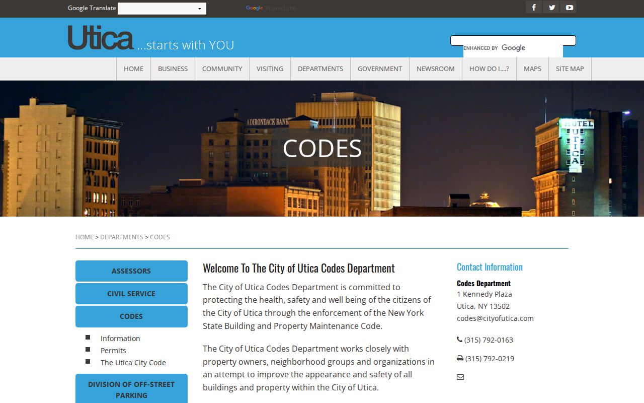
Codes staff and the City Clerk can identify the custodian and the access rule for a defined municipal file.
Utica Street Directory Entries Need Dates
For an older street, the useful order changes. The Utica Public Library’s digital city-directory collection begins with 1817 and contains selected years through 1951, with gaps. An edition can give a name, trade, work location, and residence notation for its own period. It cannot establish a current resident or prove that an old number matches the present number. Pair it with the closest available editions before and after the event, then keep the exact printed spelling and page reference.
The Utica city directory collections provide the fuller directory-year trail. For map context, the Library of Congress holds an April 1884, 20-sheet Utica Sanborn collection. It can test street alignment, building footprints, and block relationships for that issue, but it is not a modern parcel map. UPL also has newspapers on microfilm beginning in 1825, while the Oneida County History Center and State Library offer further archival routes.
When the digital run skips an edition, use the access ladder rather than assuming the address disappeared. UPL’s Genealogy Room lists city directories, yearbooks, census tools, cemetery inscriptions, and State vital-index microfiche; some network resources are available only inside the Library. The New York State Library lists Utica microfiche through much of the nineteenth century and microfilm for 1861–1935 in its noncirculating 7th-floor microform area. The Oneida County History Center accepts research visits by appointment and can provide local-document, image, and cemetery context. Each repository adds evidence for a date, not a modern street claim.
Street Directory Limits in Utica
A street directory can show property, parcel, recorded-document, permit, and dated historical pathways. It cannot establish every person in a home, turn a mailing address into a residence claim, or bypass restricted records. New York’s Driver’s Privacy Protection Act guidance prohibits using a license plate or VIN to find an owner’s name, and using a name to find a driver’s address. Protected voter and court information also remains protected.
Lawful use. Utica address records are for personal, lawful research such as family history, property curiosity, or checking an official source. Do not use any record to stalk, harass, intimidate, or harm another person.
When a source conflicts, preserve the source date and ask the actual custodian about its field meanings or a correction route. A careful street-by-street search reports what the record says, not more than the record can support.